
Recording cultural heritage
We want future generations to have knowledge of the world’s cultural diversity.
Cultures change over time. Much of the world’s cultural heritage is poorly documented and may become invisible to future generations.
Our grants support the digital documentation of cultural heritage that is poorly recorded and under threat. They create partnerships with local organizations and institutions to secure long-term preservation and free access to the records in line with the FAIR and CARE principles for data. Read more about our open access policy.
We prioritize grants where there is greatest need and resources are most limited, so we are less likely to fund work in Western Europe and North America.
We don’t have the capacity or expertise to fund emergency work in conflict zones or disaster areas.
We don’t accept applications for funding but individuals and organizations can apply to programmes that we support.
Priorities
Archives and manuscripts
We help digitize at-risk collections of written documents, photographs, and audio and video recordings, including born-digital material
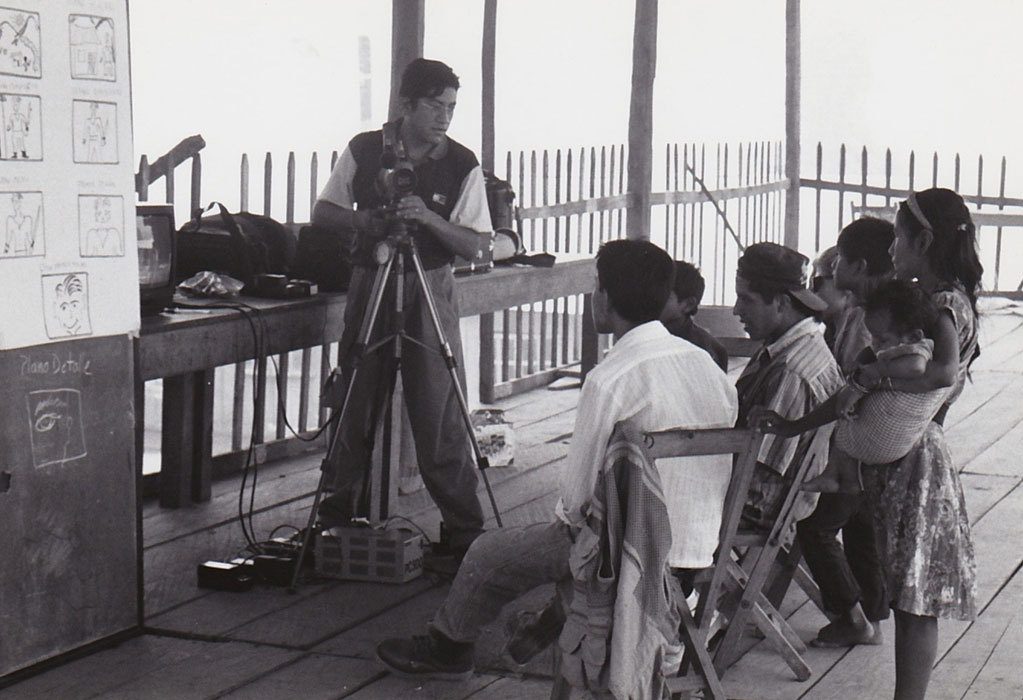
Intangible culture
We support the documentation of languages and cultural practices that may be at risk of dying out.
Heritage sites
We support the large-scale documentation of archaeological sites and buildings in regions where existing records are incomplete and the risk of future loss is high. We are no longer initiating new heritage site projects.

Endangered Languages Documentation Programme
To support a grant programme to document languages which are at risk of extinction, and build a digital archive to make the results freely available online.
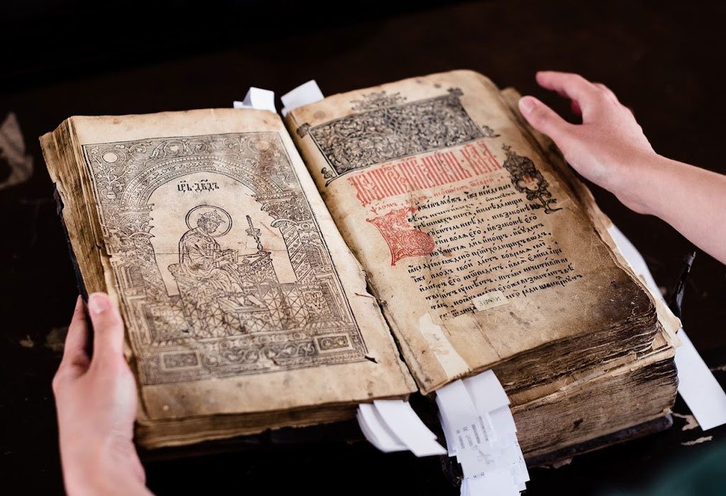
Endangered Archives Programme
To support a grant programme to digitize archives that are in danger of destruction, neglect or deterioration, covering rare printed sources, manuscripts, photographs, and audio recordings in all languages and scripts from all periods up to the mid-20th century, and to make the records freely available online.
Modern Endangered Archives Program
To support a grant programme to digitize endangered printed materials, manuscripts, photographs, audio-visual recordings and born-digital materials from the 20th and 21st centuries and make the digitized materials freely available online.
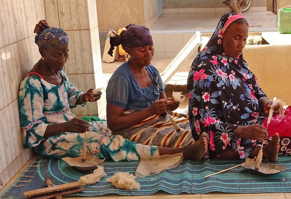
Endangered Material Knowledge Programme
To support a grant programme for documenting endangered material culture (how things are made and how they are used), and to make materials freely available online.
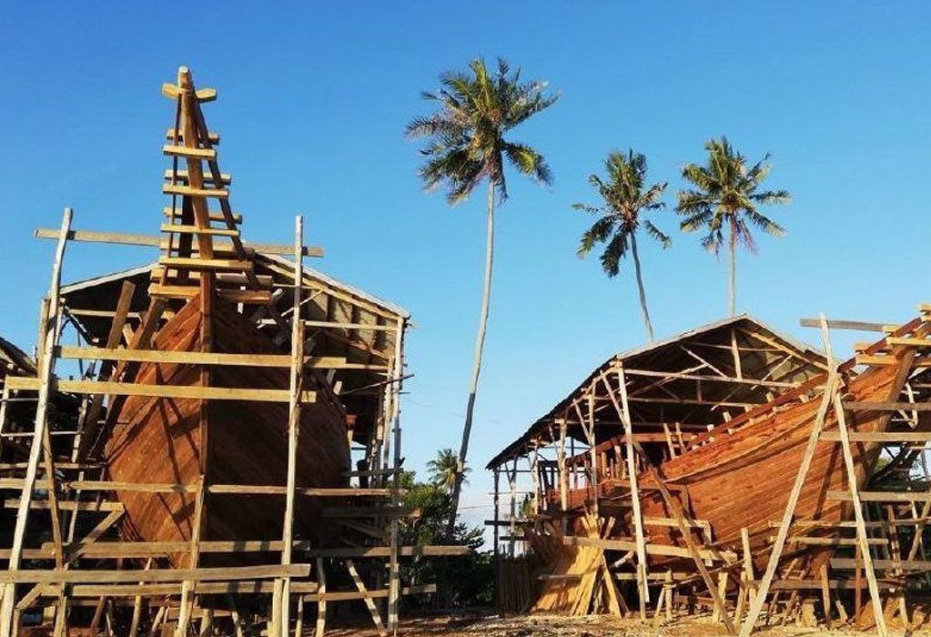
Endangered Wooden Architecture Programme
The Endangered Wooden Architecture Programme, hosted by Oxford Brookes University, awards grants to document traditional practices of creating and maintaining wooden buildings.
Team

Dr Arthur Dudney
Director of Culture

Dr Mike Heyworth
Consultant to Culture funding area
Top banner image: EAP1005 Selection of Cham Manuscripts in Vietnam. Courtesy of the Endangered Archives Programme.